
Camino de Costa Rica Stage 7
Stage 7
Stage 7 starting kilometer: 113.9 km
Stage 7 ending kilometer: 134.5 km
Total distance: 20.6 kilometers
Total elevation gain: 728 meters
Total elevation loss: 594 meters
Mar a Mar rating: Intermediate
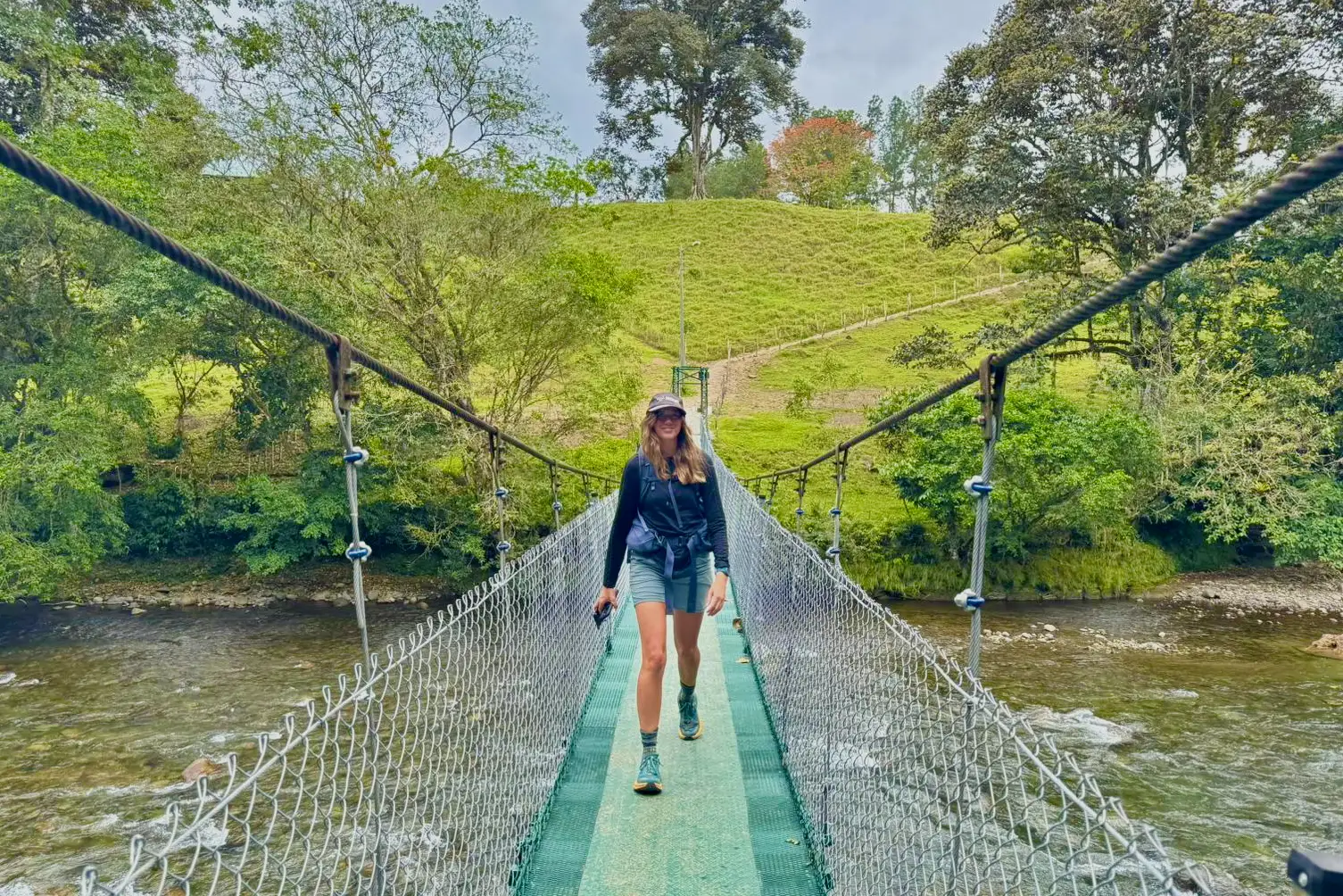
This pretty stage will first take you through coffee fields to a great viewpoint of Lake Angostora, and then you'll meander down to the road as you head towards the Pejibaye River. The route will take a circuitous route through sugar cane fields and then you'll follow a dirt road that flanks the Pejibaye River. Just before crossing the river you can make a short stop for some homemade ice cream and sign the hiker log at Finca CoVaCam and then you'll walk down to the photo-famous Pejibaye hanging bridge. From here, Stage 7 follows the road to the town of Pejibaye.
From the Pacuare Outdoor Center blog: What's a Pejibaye? Pejibaye is a fruit grown in Costa Rica. English readers might know it as a Peach Palm. The fruit is not sweet and has a complex taste described as a nutty sweet potato.
Stage 7 lodging
- Casa Turire | 117.3 kilometers and off trail 1.7km. Upscale lodging with great cocktails
- Finca CoVaCam | 128.3 kilometers
- Río del Valle Posada Turística | 128.5 kilometers
- Finca la Realeza | Only camping available, 129.9 kilometers
- Cabaña la Margarita | 132.2 kilometers
- El Copal | Technically this is Stage 8, however, many hikers use it as they complete Stage 7.