
2026-08-27 · Mateo
Camino de Costa Rica Stage 6
Stage 6 data points of the Camino de Costa Rica
Stage 6
Stage 6 starting kilometer: 101.4 km
Stage 6 ending kilometer: 113.9
Total distance: 12.5 kilometers
Total elevation gain: 371 meters
Total elevation loss: 690 meters
Mar a Mar rating: Intermediate
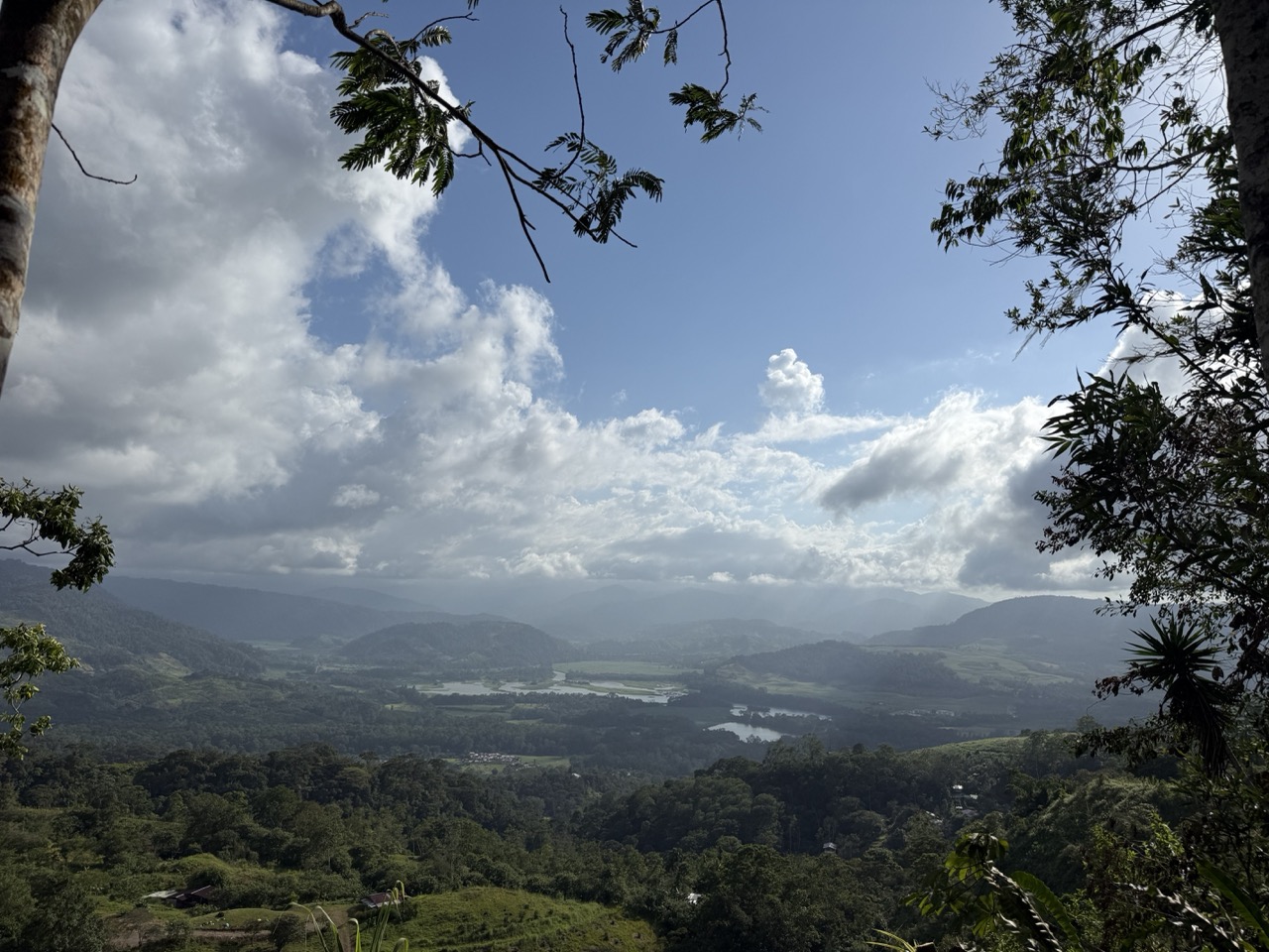
Leaving Stage 5 you start climbing 350 meters up as you leave the community of Pacayitas. Once you crest the hill you'll start the descent towards the Turrialba Valley giving you amazing views of Lake Angostura and the surrounding mountains. Far off in the distance you can even see Cerro de la Muerte, the highest point on the Pan-American Highway.
Towards the end of Stage 6 you'll be close to a major town, La Suiza. If you veer off the trail a short distance you'll have access to pharmacies, many resupply options and even an ATM.
Stage 6 lodging
- The Hiker House | 109 kilometers
- Los Sueños Campamento | 105.3 kilometers
- Casa Nuñez Solano | 109.5 kilometers
- Siloé Lodge | 113.5 kilometers