
Camino de Costa Rica Stage 9
Stage 9
Stage 9 starting kilometer: 148.7 km
Stage 9 ending kilometer: 172.4 km
Total distance: 23.7 kilometers
Total elevation gain: 932 meters
Total elevation loss: 934 meters
Mar a Mar rating: Intermediate
Stage 9 is 23.7 kilometers and the Mar a Mar rates it intermediate and All Trails calling it difficult. I would say it's between the two.
The first 6 km are flat, following the Orosi River along paved Route 408. You’ll then reach Purisil, the halfway point of El Camino de Costa Rica. It’s also your first chance to resupply since Humo de Pejibaye, so stock up before continuing.
Just after Purisil, you reach Río Macho and the climbing begins. The road gets steep as you pass the large hydroelectric project operated by ICE, Costa Rica’s national electricity company. If you need a proper resupply, Orosi is about 3 km away. You can take a taxi or bus (try Uber even) into town, where you’ll find plenty of shops and other services.
In Río Macho, the trail leaves Route 408 and climbs through the El Llano Reservoir project, marked by blue AyA signs. This is probably the trickiest section to navigate. You’ll pass through several gates and climb steep gravel roads before reaching the coffee fields. Keep a close eye on your FarOut app here. It can be easy to lose the route among the plantations, so watch for signs.
From there, the trail joins Route 405 and follows it the rest of the way to the small town of Navarro de Muñeco.
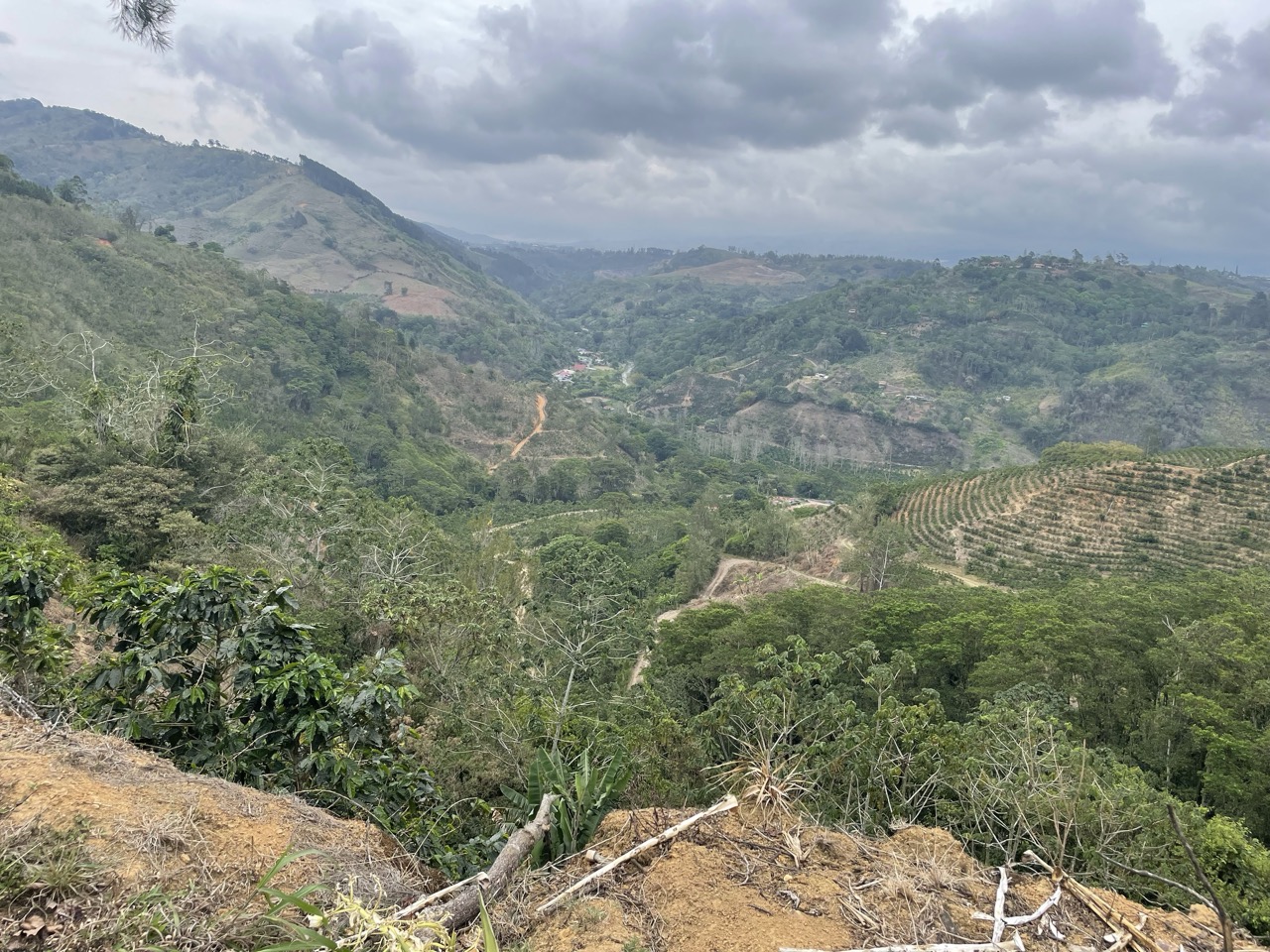
Start early if you can. The final stretch has very little shade and can get hot. The views from the top make the climb worthwhile, with forest and mountains stretching out below. Expect a long, steady day on the trail, and be prepared for some muddy sections.
Stage 9 lodging
- Hotel Rio Perlas Spa and Resort | 169.4 km
- Ave del Paraiso | 172.1 km
- Navarro Mountain Dream | 172.7 km
- Cabaña Montaña Verde | 172.9 km