Camino de Costa Rica Stage 2
Stage 2
Stage 2 starting kilometer: 54.6
Stage 2 ending kilometer: 71.3
Total distance: 16.7 kilometers
Total elevation gain: 725 meters
Total elevation loss: 126 meters
Mar a Mar rating: Intermediate
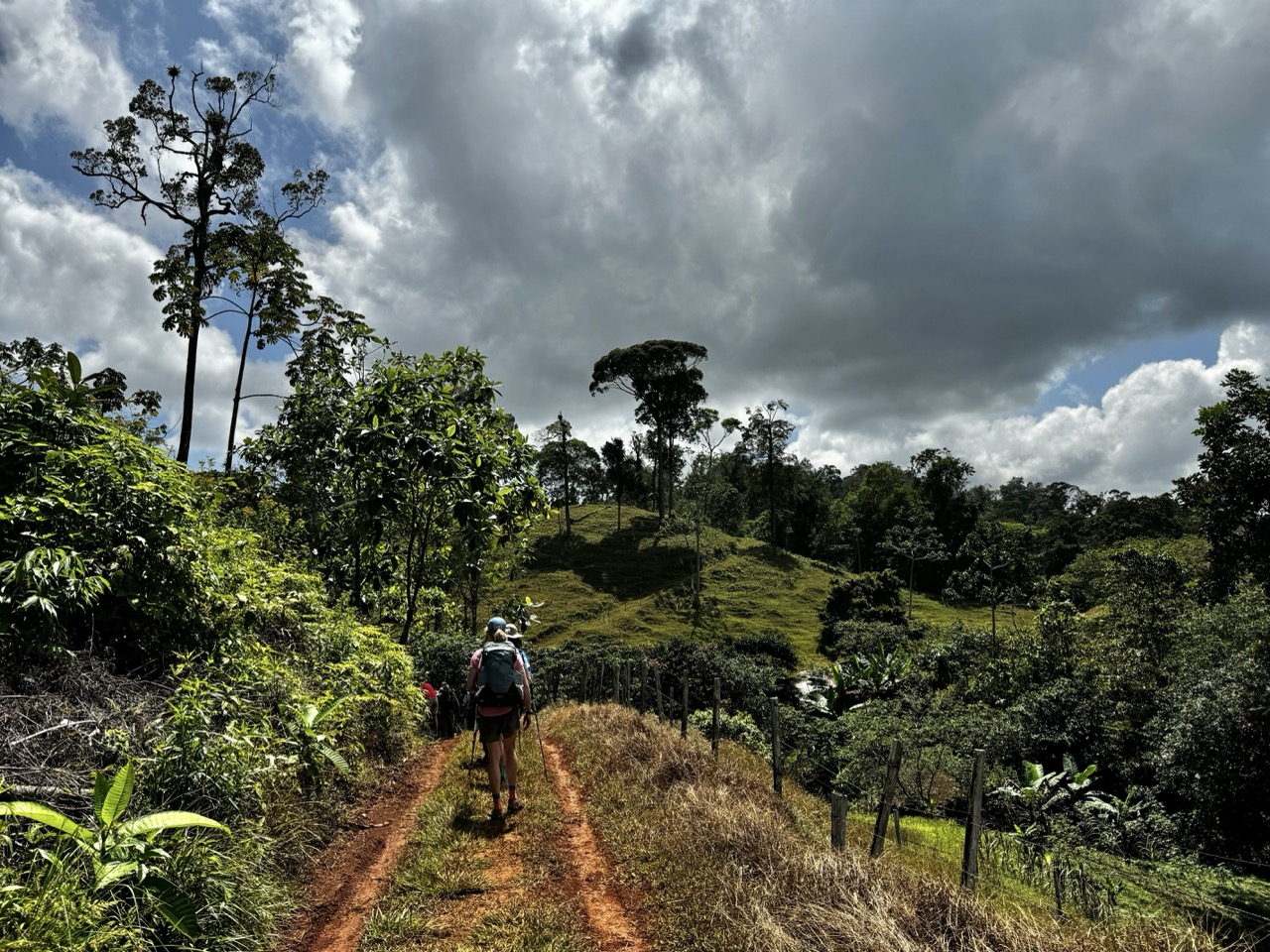
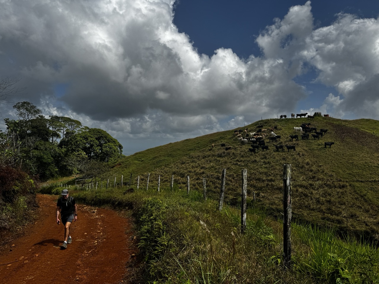
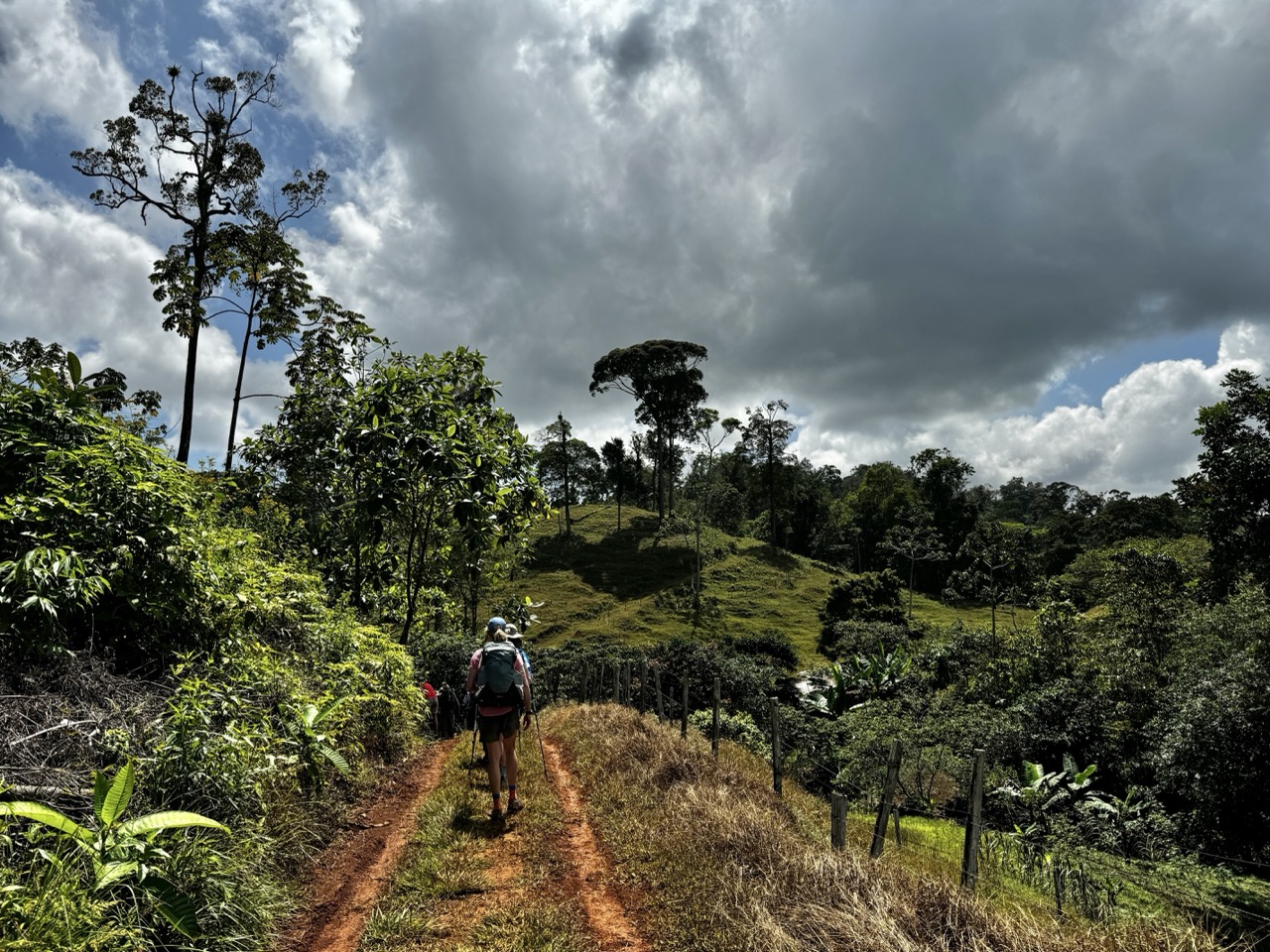
Stage 2 is where the trail turns uphill for good. You'll gain roughly 725 meters (2,379 feet) over the day, most of it in the first few miles after crossing Highway 32 — a steady, unrelenting climb on gravel that thins out into a quieter dirt road the higher you go. Houses give way to farms, then to open pasture, and the grades get steep enough in spots that you'll feel your legs working on the way up and have to watch your footing on the way down.
Cloud cover and shade start to take over as you gain elevation, which is a welcome change after the heat of Stage 1. There's a muddy stretch partway through — reddish clay that holds water and can swallow a boot past the ankle in the wet season, though it dries out and firms up depending on when you're hiking. The last stretch levels out onto a graded gravel road for an easier finish.
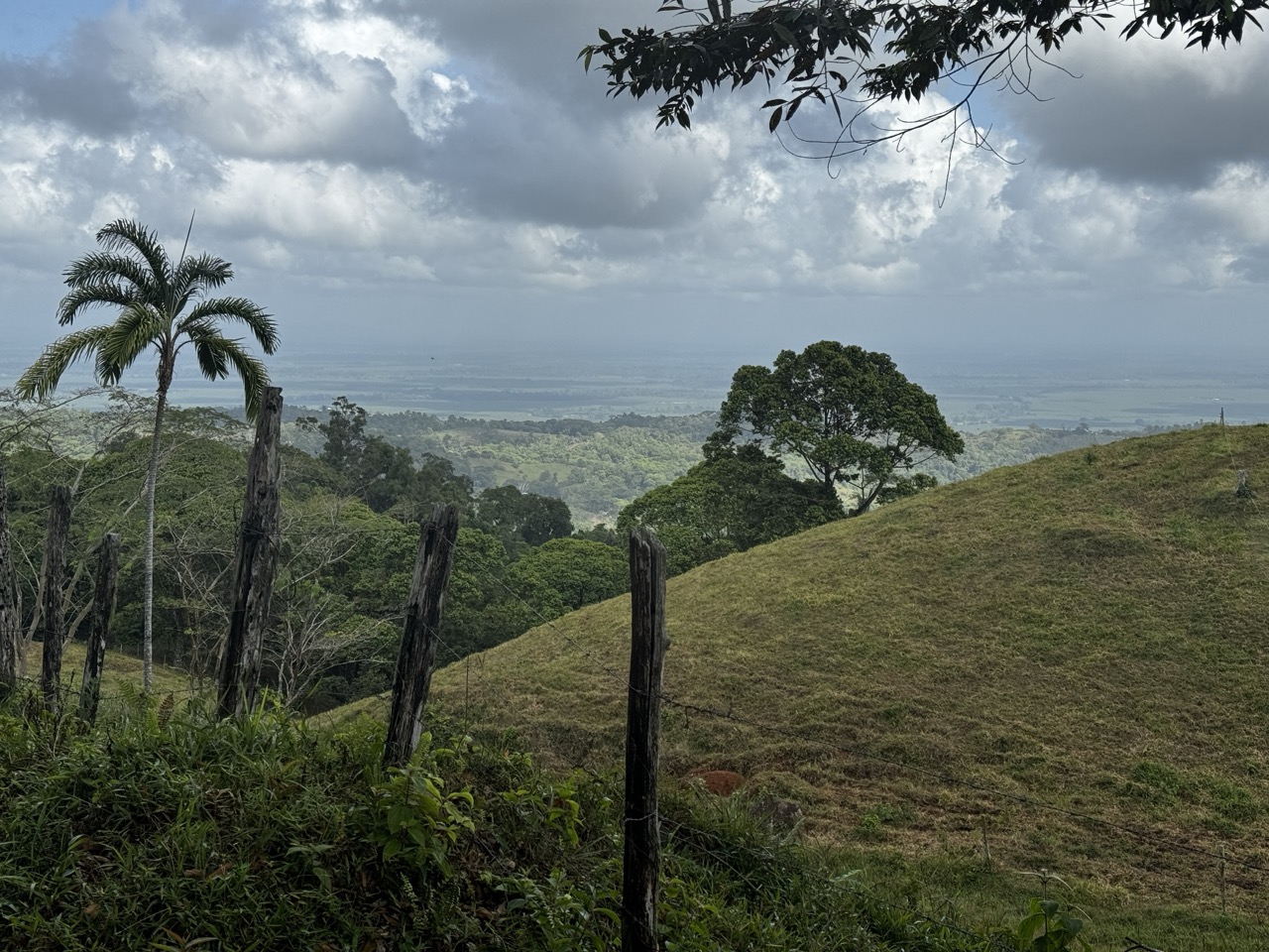
The payoff is the scenery: your last clear looks back at the Caribbean coastline and the plain you just climbed out of, then rolling hills and pasture as you top out. Keep an eye out for toucans, oropendulas, and vultures overhead, plus horses, cattle, and the occasional pig grazing the open land. Leafcutter ants are a fun distraction on the flatter sections, and cacao trees show up along the way if you know what to look for.
You'll finish the stage at the entrance to Parque Nacional Barbilla and the Cabécar Indigenous Territory of Nairi Awari.
Stage 2 lodging
- Barbilla Rainforest Lodge | 70.2 kilometers
- Campamento Nairi Awari | 70.9 kilometers
Stage 2 photos